![]()
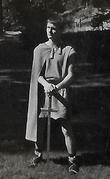
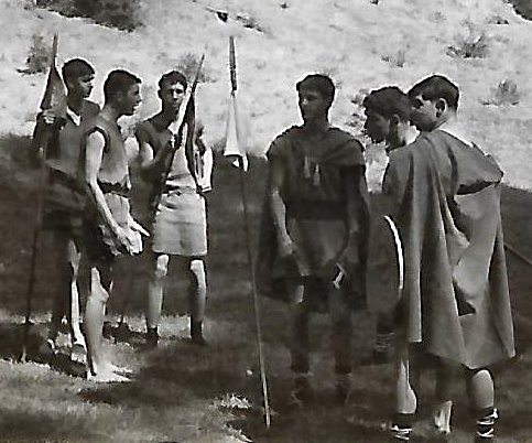
This year (2022) marks the 60th anniversary of one of my earliest follies. When I was in high school, I became interested in King Arthur, the 6th century leader who kept the Britons safe from invaders. I spent my free time in the Bancroft Library at the University of California at Berkeley searching for early references to that king from the misty past. The oldest source I was able to find was the Ecclesiastical History of the English People written by the venerable Bede around 731. I wrote a screenplay, loosely based on my limited research, and dragging all my friends along, we made a movie about King Arthur in the Summer of 1962.
Bede actually never mentions King Arthur and recent research has thrown new light on Arthur’s role as defender of Britain. It appears that the Anglo-Saxons, rather than invading, arrived as immigrants who merged with the local peoples over several centuries. What is interesting is how modern historical research methods have enabled new insights into traditions that have been accepted for centuries.
I want to mention one method in particular – remote sensing techniques for the detection of archaeological features. First tho and stepping back a bit in the discussion, how might these techniques be relevant? Hypothesis – If Britain had been invaded in the 6th and 7th centuries there would be wide-spread redistribution of land by the successful invaders. To the victor, go the spoils. Studies of land ownership records, which might extend back to Roman times, do not indicate massive changes in land use during the period of the 6th through 8th centuries. Susan Oosthuizen has looked into this aspect extensive;y. “A distinctive feature relates to Oosthuizen’s analysis of common property rights – that is, agricultural land exploited under shared rights of property. These rights, she maintains, were universal across the British Isles and remained undisturbed across the period.” (Griffith) “Susan Oosthuizen’s study The Anglo-Saxon Fenland argued that the carefully balanced systems of Fenland agriculture and the traditions of common-land management that are recorded in later medieval documents must represent continuity, evolution, and adaptation rather than upheaval, with no environmental evidence for the rewilding of the Fens from scrub and tree growth or from the neglect of drainage systems.” (Catling)
To back up what the land ownership records say, we come (finally) to the research of Dominic Powlesland and James Lyall. Powlesland has spent 30 years studying the archaeological topography of a section of land along the English coast in Yorkshire. He and his colleagues have used aerial surveys and magnetometers to map several thousand acres of farmland and villages. These methods allow for imaging of how the land has been used underneath present day soil levels. The results have led Powlesland to hypothesize that the land use and land boundaries have remained remarkably constant over the centuries.
Thus, it appears that a hypothesis of migration over several centuries of Angles, Saxons and Jutes seems more likely than a large scale invasion. The land use data support an evolutionary process rather than an abrupt change. King Arthur probably found some marauding bands to trounce but they may not have been the advance forces of an invasion.
References
- Time to axe the Anglo-Saxons?, Chris Catling , Current Archeology, 2019.
- Anglo-Saxon Fenland, Susan Oosthuizen (Review), Paul Spoerry, Current Archelogy, 2017.
- The Anglo-Saxon invasion and the beginnings of the ‘English’, Catherine Hills, Our Migration.
- Anglo-Saxon Invasion of Britain: Beyond Gildas and Bede, Sarah Solomatin,
- The Emergence of the English – a new interpretation and an old conundrum, Gareth Griffith, Medievalists, 2019.
- The Emergence of the English, Susan Oosthuizen, Arc Humanities Press, 2019.
- Beneath the sand – Remote sensing, archaeology, aggregates and sustainability: A case study from Heslerton, the Vale of Pickering, north Yorkshire, UK, Dominic Powlesland et al, Archaeological Prospection, 2006.
- Is the Anglo-Saxon Invasion of England a Myth?, King Arthur’s Britain, Chronicle, 2021. This is a very interesting video that discusses the invasion issue in depth.
 |
| Visits: 1623295 |